
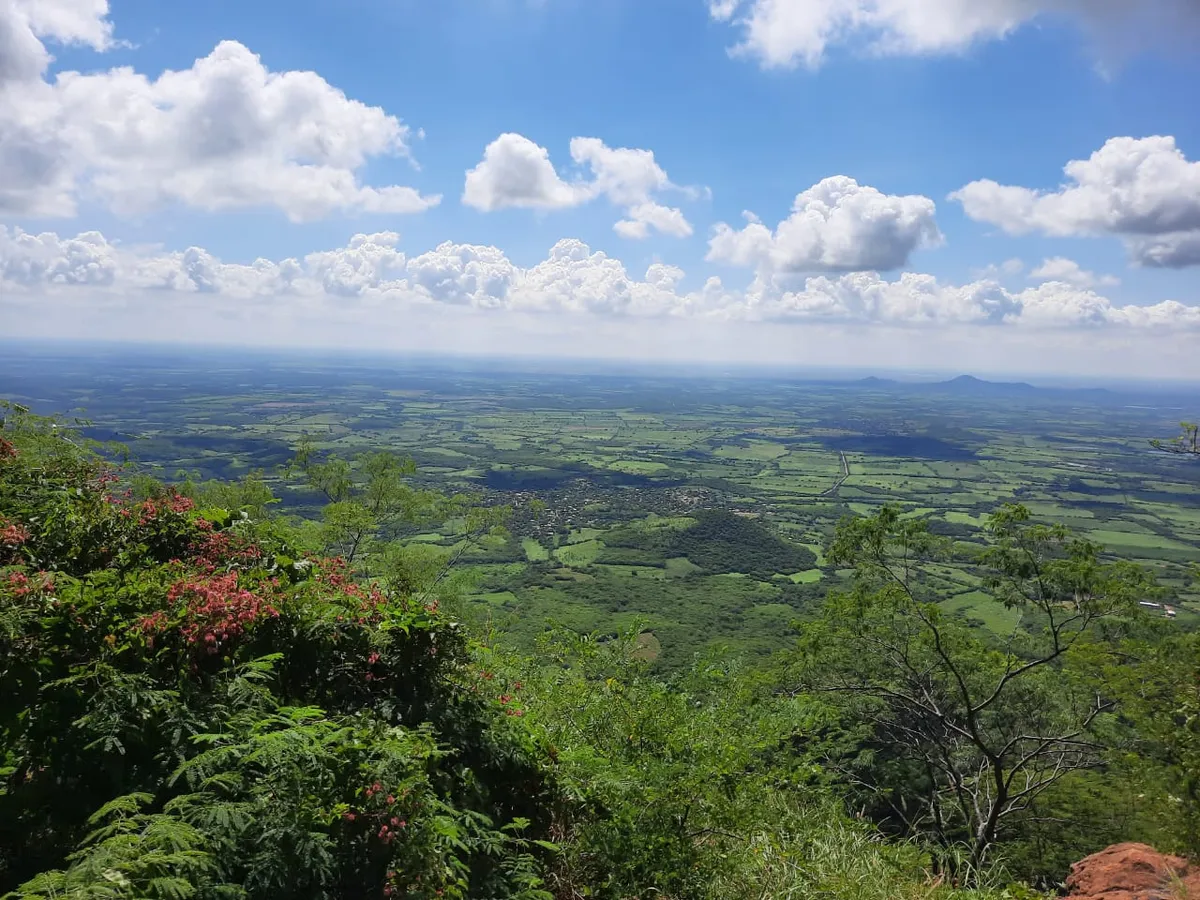
A locality in the municipality of Sinaloa
Sinaloa de Leyva
CityA city, the seat of the municipality of Sinaloa, in the north of the state. Founded in 1583 as Villa de San Felipe y Santiago de Sinaloa, it gave the state its name; its current name honors revolutionary Gabriel Leyva Solano.
Key facts
- Municipality
- Sinaloa
- Population
- 5,524 · 2020
- Occupied dwellings
- 1,466 · 2020
- Settlement type (INEGI)
- Urban
- Elevation
- 80 m
- INEGI code
- 250170001
Overview
Sinaloa de Leyva sits in the valley watered by the Río Sinaloa, in the north of the state. It holds the municipal government and concentrates the commerce and services of the surrounding farming region.
Irrigated agriculture, aided by the Bacurato dam, is the region's main economic activity.
History
The locality was founded on 30 April 1583 as Villa de San Felipe y Santiago de Sinaloa; a second founding took place in 1585. In 1591 the Jesuit missionaries Gonzalo de Tapia and Martín Pérez arrived, and the first temple was built around 1635.
The state of Sinaloa takes its name from this locality. Per the traditional interpretation attributed to Sinaloan historian Eustaquio Buelna, the name comes from the Cahita "sina" (pitahaya) and "lobola" (round) — "round pitahaya"; this is a traditional interpretation, not an established linguistic consensus.
In the twentieth century the locality took the name Sinaloa de Leyva in honor of Gabriel Leyva Solano (1871-1910), a schoolteacher and Maderista organizer born here, executed in 1910 and declared Protomártir de la Revolución Mexicana in 1930. No exact date for the renaming has been found.
Location and geography
Related topics
- History
- Colonial history
Sources and data
The figures on this page come from public sources. Each data point shows its year and origin.
- Evolución histórica de los municipios de México de 1810 a 2020. Sinaloa — Instituto Nacional de Estadística y Geografía
- Historia — H. Ayuntamiento de Sinaloa — Gobierno Municipal de Sinaloa
- Leyva, Gabriel — Diccionario de la Revolución Mexicana — Universidad Nacional Autónoma de México (UNAM)
- Censo de Población y Vivienda 2020 — Principales resultados por localidad (ITER), Sinaloa — Instituto Nacional de Estadística y Geografía