
Municipalities of Sinaloa
Explore Sinaloa's 20 municipalities, their seats, population, localities and defining characteristics.
20 municipalities
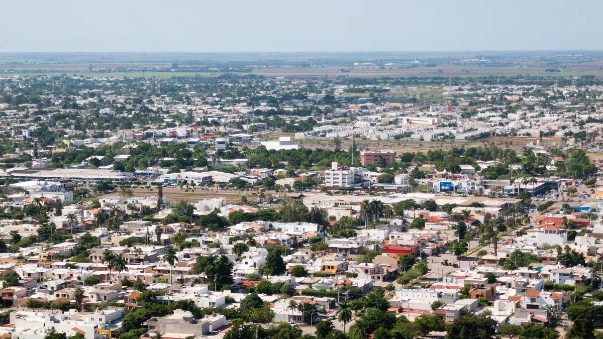
Ahome
A municipality at the far north of Sinaloa, in the Valle del Fuerte. Its seat, Los Mochis, is a planned early-twentieth-century city; the municipality is among the state leaders in irrigated agriculture, fishing and aquaculture, and holds the deep-water port of Topolobampo.
- Seat
- Los Mochis
- Population
- 459,310
Angostura
A coastal municipality in north-central Sinaloa, created on 7 December 1916 from the former Distrito de Mocorito. Its coastline includes Bahía Santa María, one of the country's priority wetlands.
- Seat
- Angostura
- Population
- 44,093
- Established
- 1916
Badiraguato
A municipality in the Sierra Madre Occidental in north-central Sinaloa, a distrito since 1831, suppressed in 1861 and restored in 1894. Its economy combines irrigated agriculture with sierra ranching.
- Seat
- Badiraguato
- Population
- 26,542
Choix
A municipality in the far north of Sinaloa, in the Sierra Madre Occidental, created as a municipalidad on 9 December 1916. It borders the states of Sonora and Chihuahua.
- Seat
- Choix
- Population
- 29,334
- Established
- 1916
Concordia
A municipality in southern Sinaloa, in the Sierra Madre Occidental. Its seat, founded in 1565 as Villa de San Sebastián and renamed Concordia in 1828, is recognized as a Pueblo Señorial and for its century-old furniture-making tradition.
- Seat
- Heroica Ciudad Concordia
- Population
- 24,899
Cosalá
A municipality in the Sierra Madre Occidental in south-central Sinaloa, documented since 1825 as a partido under the Constitución del Estado de Occidente. Its seat served as capital of the Estado de Occidente between 1826 and 1828.
- Seat
- Cosalá
- Population
- 17,012
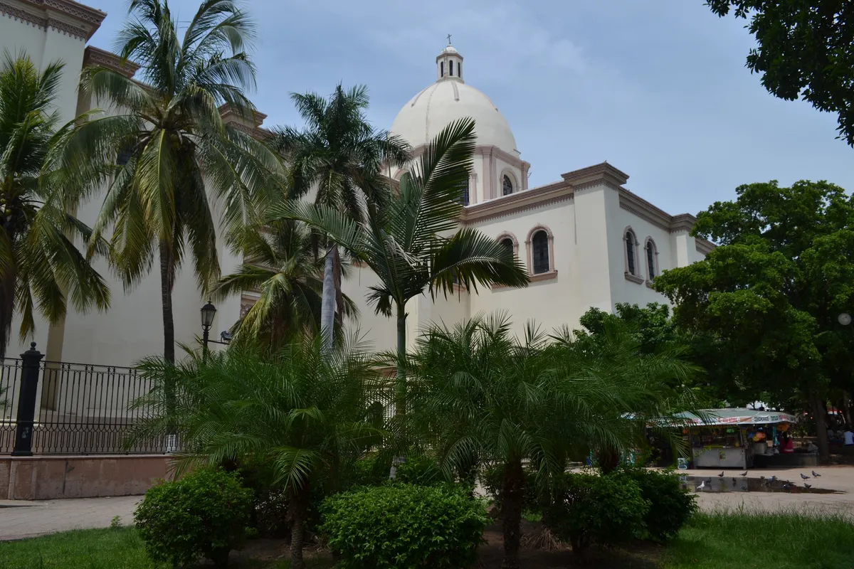
Culiacán
The capital of the state of Sinaloa and its most populous municipality, in the valley of the Río Culiacán. It holds the state government, Sinaloa’s main university and one of Mexico’s most important vegetable-growing irrigation districts.
- Seat
- Culiacán Rosales
- Population
- 1,003,530
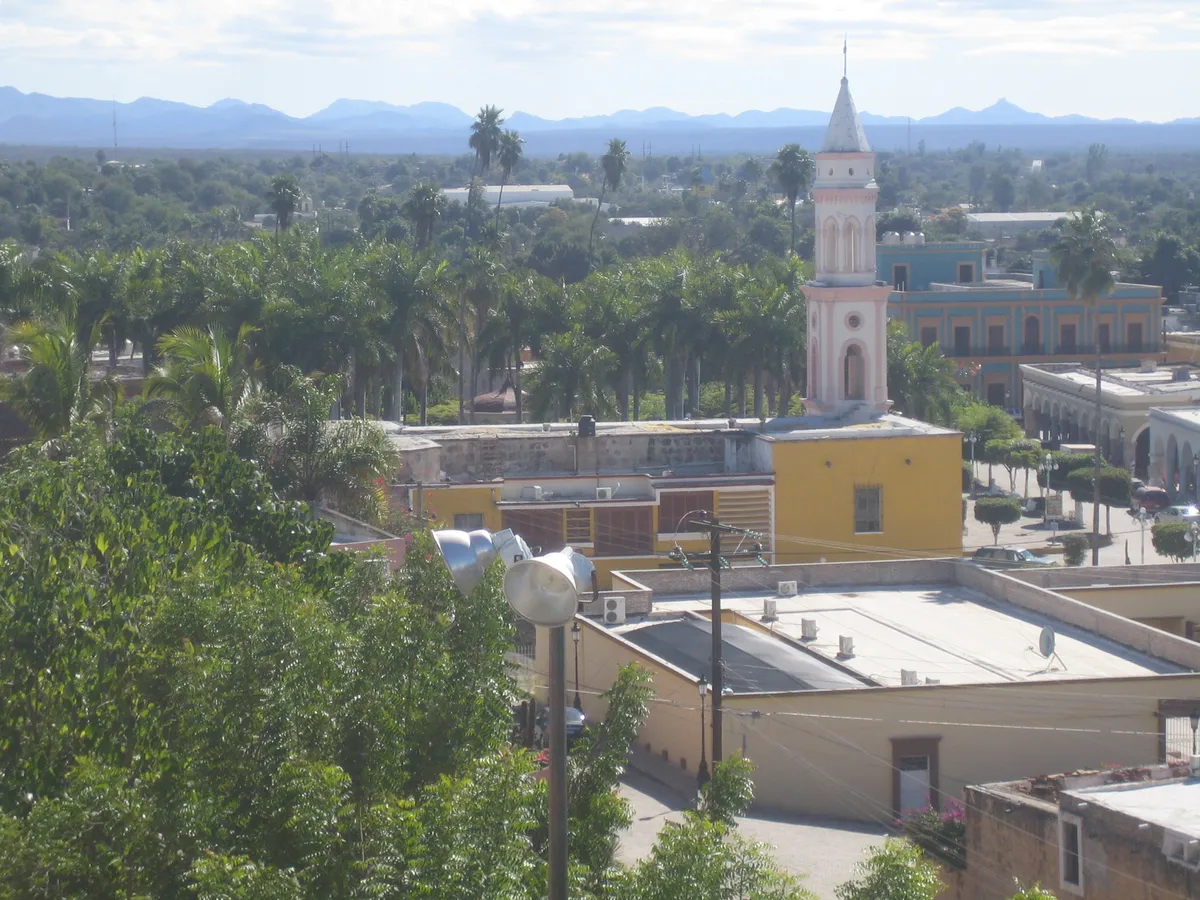
El Fuerte
A historic town in northeastern Sinaloa, on the Río Fuerte at the foot of the Sierra Madre Occidental. It was an administrative and trading centre in the colonial period and is part of the federal Pueblos Mágicos programme.
- Seat
- El Fuerte
- Population
- 96,593
Eldorado
A municipality in south-central Sinaloa, created by Decreto No. 597 of the state congress, approved on 5 March 2021, from the then Sindicatura de Eldorado of the municipality of Culiacán. The new municipal government took office on 1 November 2024.
- Seat
- Eldorado
- Established
- 2021
Elota
A municipality on Sinaloa's south-central coast, erected as a free municipality by Decree No. 29 of 3 April 1917, with its original seat at the town of Elota. Its bays, estuaries and irrigated farmland anchor an agricultural and fishing economy; the seat moved to La Cruz in 1927.
- Seat
- La Cruz
- Population
- 55,339
Escuinapa
A coastal municipality in Sinaloa's far south, of pre-Hispanic and colonial origin. Its seat was elevated to city status in 1915; the municipal economy combines shrimp fishing —origin of the tamales barbones dish— with irrigated agriculture.
- Seat
- Escuinapa de Hidalgo
- Population
- 59,988
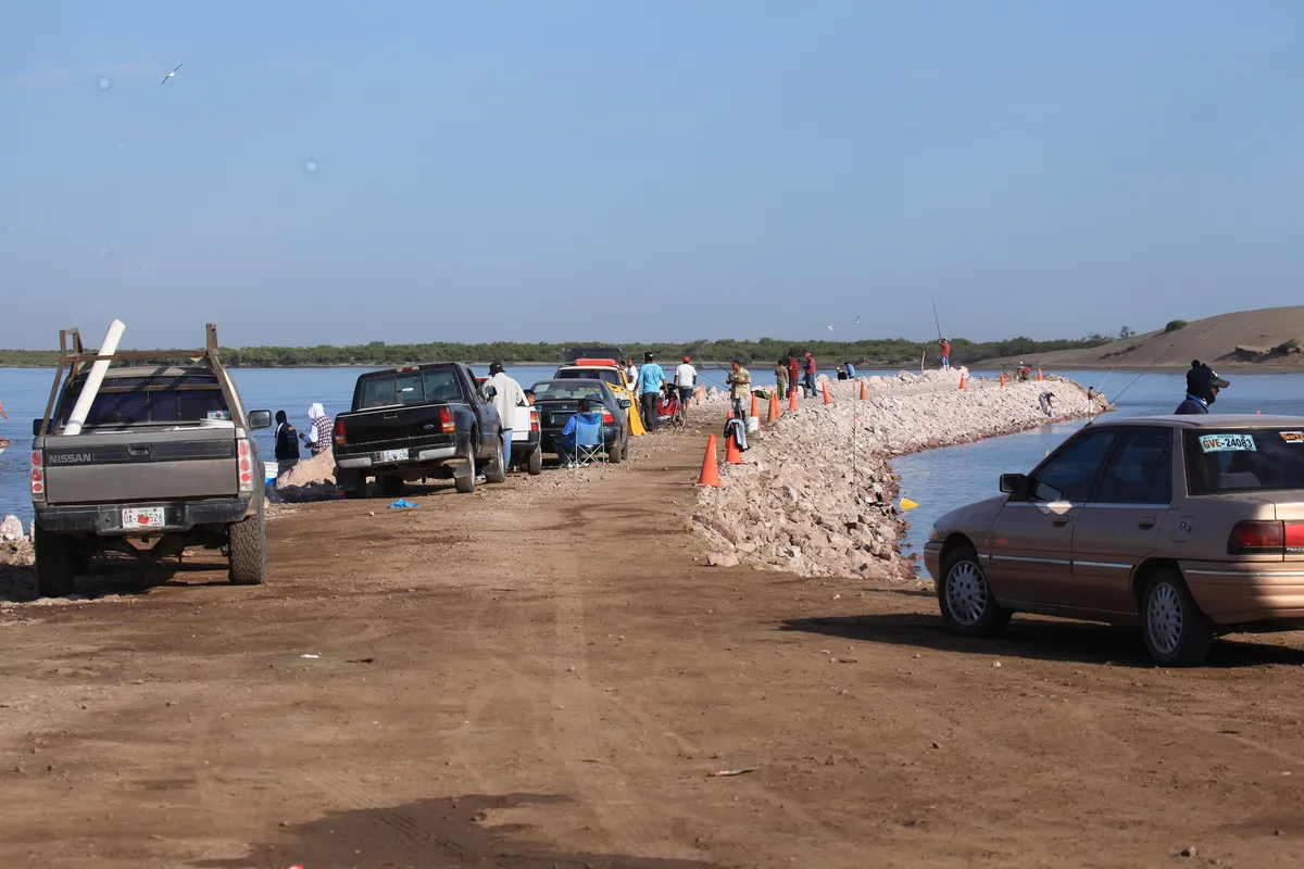
Guasave
A municipality in northern Sinaloa on the plain of the lower Río Sinaloa. It is one of the state’s most productive irrigated-farming districts and has a long coastline on the bays of Navachiste and San Ignacio.
- Seat
- Guasave
- Population
- 289,370
Juan José Ríos
A municipality in northern Sinaloa, created by Decreto No. 598 of the state congress, approved on 5 March 2021, with territory formerly split among the municipalities of Guasave, Ahome, El Fuerte and Sinaloa. The new municipal government took office on 1 November 2024.
- Seat
- Juan José Ríos
- Established
- 2021
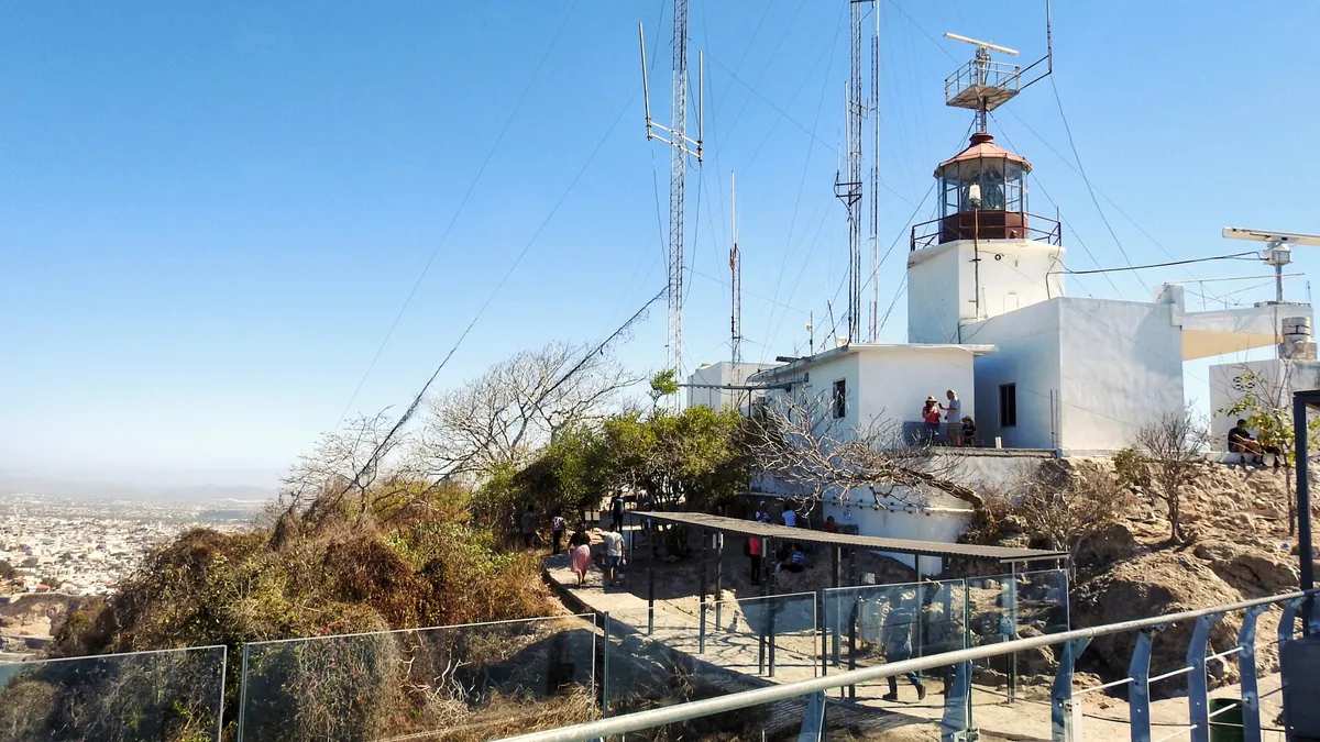
Mazatlán
A city and port in southern Sinaloa on the Gulf of California, known as "the Pearl of the Pacific". It is one of the state’s two deep-water ports and its main cruise and tourism port, with one of Mexico’s largest fishing fleets and an established beach-tourism centre.
- Seat
- Mazatlán
- Population
- 501,441
Mocorito
A municipality in north-central Sinaloa, one of the state's oldest districts, dating to Sinaloa's first Constitution of 1831. Its seat, Mocorito, has been a Pueblo Mágico since 2015.
- Seat
- Mocorito
- Population
- 40,358
Navolato
A coastal municipality in central Sinaloa, created in 1982 through Decreto No. 212 with territory split off the municipality of Culiacán. Its economy rests on irrigated agriculture, with a cane-growing tradition going back to the nineteenth century.
- Seat
- Navolato
- Population
- 149,122
Rosario
A municipality in southern Sinaloa, of historic mining character. Its seat, El Rosario, produced gold and silver for close to three centuries and has been a Pueblo Mágico since 2012; the municipality borders Concordia, Mazatlán, Escuinapa, Durango and Nayarit.
- Seat
- El Rosario
- Population
- 52,345
Salvador Alvarado
A municipality in north-central Sinaloa, the smallest in the state by area, created in 1962 from territory split off the municipality of Mocorito. Its seat, Guamúchil, is a commercial and farming hub that grew up around the railroad station.
- Seat
- Guamúchil
- Population
- 79,492
San Ignacio
A municipality in southern Sinaloa, in the Sierra Madre Occidental, the state's least populated. Its territory, watered by the Río Piaxtla, traces to seventeenth-century Jesuit evangelization; its seat has been a Pueblo Mágico since 2023.
- Seat
- San Ignacio
- Population
- 19,505
Sinaloa
A municipality in northern Sinaloa, one of the state's oldest jurisdictions, documented since 1825 as a partido under the Constitución del Estado de Occidente. Its seat, Sinaloa de Leyva, gave the state its name.
- Seat
- Sinaloa de Leyva
- Population
- 78,670