
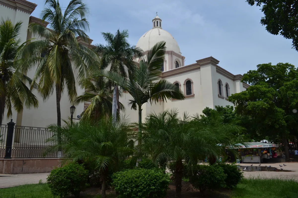
Culiacán
The capital of the state of Sinaloa and its most populous municipality, in the valley of the Río Culiacán. It holds the state government, Sinaloa’s main university and one of Mexico’s most important vegetable-growing irrigation districts.
Image: Maryan gomez chaidez · Wikimedia Commons · CC BY-SA 4.0
Key facts
- Municipal seat
- Culiacán Rosales · City
- Population
- 1,003,530 · 2020
- Occupied dwellings
- 281,567 · 2020
- INEGI code
- 25006
Overview
Culiacán reaches from the Sierra Madre Occidental in the east to the coastal plain and the Gulf of California in the west. Its seat — officially Culiacán Rosales — is the home of the state government and of the Universidad Autónoma de Sinaloa.
The municipality is one of Mexico’s largest producers of vegetables, tomatoes above all, thanks to the irrigated farming of the valley. The city is also the state’s main commercial, financial and service centre.
History
The valley was home to peoples the Spanish chroniclers linked to the name Culhuacán. The town of San Miguel de Culiacán was founded on 29 September 1531 by Nuño Beltrán de Guzmán, beside the meeting of the Humaya and Tamazula rivers.
Under Spanish rule it was the seat of the province of Culiacán and a waypoint on the routes of the northwest. It was named state capital in 1830 and, after a spell in which the state powers sat in Mazatlán, has been the capital without interruption since 1873. During the twentieth century the municipality grew with irrigation works — among them the Sanalona dam — and with the spread of commercial export agriculture.
Geography
The Río Culiacán forms within the city itself, where the Humaya and the Tamazula join; upstream, the Sanalona dam regulates the Tamazula. The municipal territory drops from the crest of the Sierra Madre Occidental to the farming plain and reaches the Gulf of California along its southern edge.
The prevailing climate is warm and sub-humid in the valley and milder in the sierra, with summer rains.
Cities and localities
Municipal seat
Other localities
- Costa Rica · 28,239 residents (2020)
- El Diez · 8,427 residents (2020)
- Quilá · 5,898 residents (2020)
- Adolfo López Mateos (El Tamarindo) · 5,183 residents (2020)
- Culiacancito · 4,466 residents (2020)
- El Limón de los Ramos · 3,445 residents (2020)
- El Salado · 2,422 residents (2020)
- Pueblos Unidos · 2,344 residents (2020)
- Bellavista · 2,321 residents (2020)
The municipality contains 1,480 localities on the INEGI register.
Related topics
- Agriculture
- State government
- History
- Colonial history
Sources and data
The figures on this page come from public sources. Each data point shows its year and origin.
- Censo de Población y Vivienda 2020 — Principales resultados por localidad (ITER), Sinaloa — Instituto Nacional de Estadística y Geografía
- Panorama sociodemográfico de Sinaloa. Censo de Población y Vivienda 2020 — Instituto Nacional de Estadística y Geografía
- Enciclopedia de los Municipios y Delegaciones de México — Estado de Sinaloa — Instituto Nacional para el Federalismo y el Desarrollo Municipal (SEGOB)