
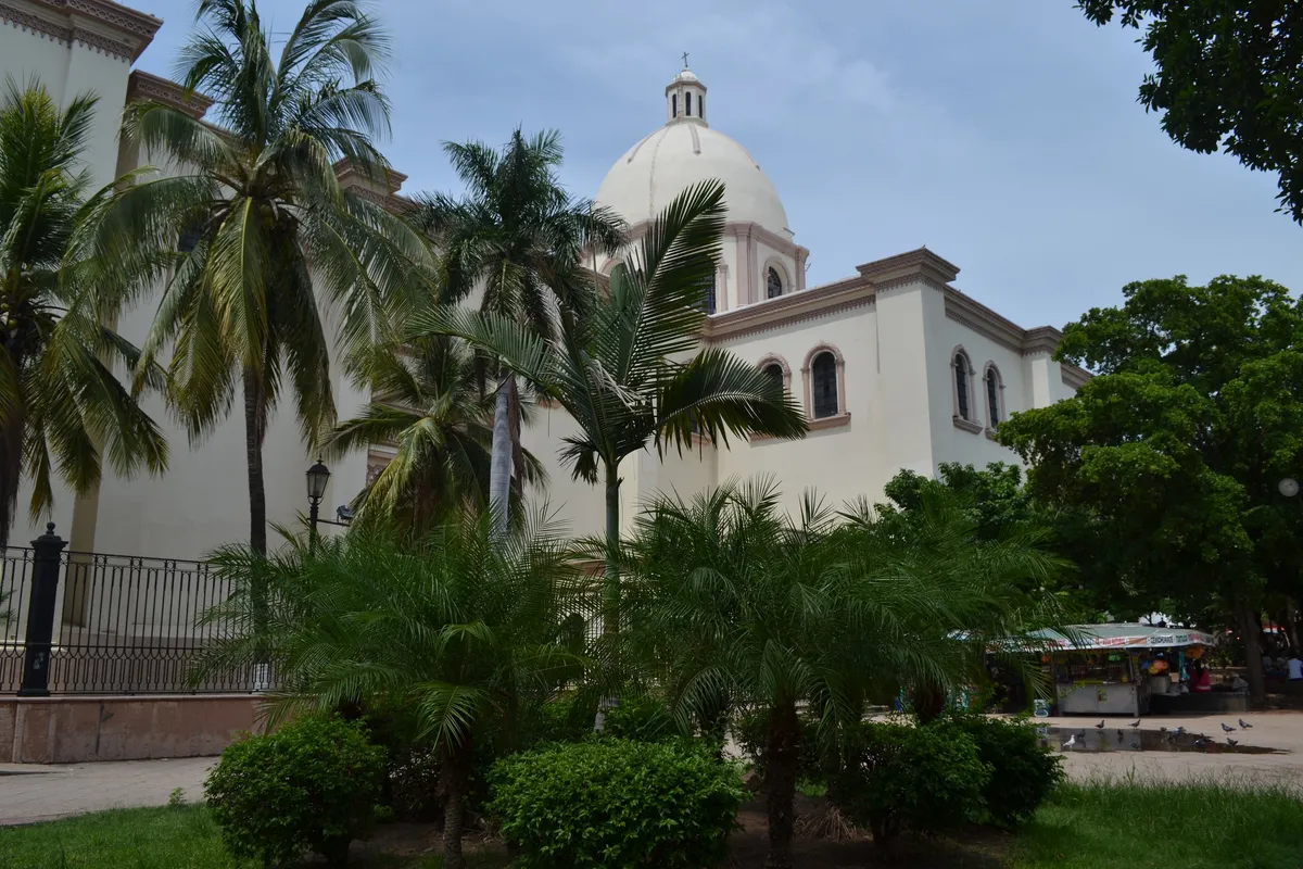
A locality in the municipality of Culiacán
Culiacán Rosales
CityThe capital city of the state of Sinaloa and the seat of the municipality of Culiacán, at the meeting of the Humaya and Tamazula rivers. Its official name, Culiacán Rosales, dates to 1868; it holds the state government, the Universidad Autónoma de Sinaloa and the country's leading export-vegetable growing district.
Image: Maryan gomez chaidez · Wikimedia Commons · CC BY-SA 4.0
Key facts
- Municipality
- Culiacán
- Population
- 808,416 · 2020
- Occupied dwellings
- 232,201 · 2020
- Settlement type (INEGI)
- Urban
- Elevation
- 57 m
- INEGI code
- 250060001
Overview
Culiacán sits where the Humaya and Tamazula rivers join to form the Río Culiacán, at the heart of the farming valley of the same name. It is by far the largest urban centre in Sinaloa and concentrates the valley's commerce, financial services and export-horticulture agro-industry.
The city has held the state government since 1873, after a period when the state powers sat in Mazatlán, and is home to the Universidad Autónoma de Sinaloa, the state's leading institution of higher education.
History
The town of San Miguel de Culiacán was founded on 29 September 1531 by Nuño Beltrán de Guzmán, beside the meeting of the Humaya and Tamazula rivers, on land earlier home to peoples the Spanish chroniclers linked to the name Culhuacán.
INEGI's historical municipal record documents that Decreto No. 27 changed the name of the seat to "Culiacán Rosales" in 1868.
Location and geography
Related topics
- History
- State government
Sources and data
The figures on this page come from public sources. Each data point shows its year and origin.
- Censo de Población y Vivienda 2020 — Principales resultados por localidad (ITER), Sinaloa — Instituto Nacional de Estadística y Geografía
- Enciclopedia de los Municipios y Delegaciones de México — Estado de Sinaloa — Instituto Nacional para el Federalismo y el Desarrollo Municipal (SEGOB)
- Evolución histórica de los municipios de México de 1810 a 2020. Sinaloa — Instituto Nacional de Estadística y Geografía