
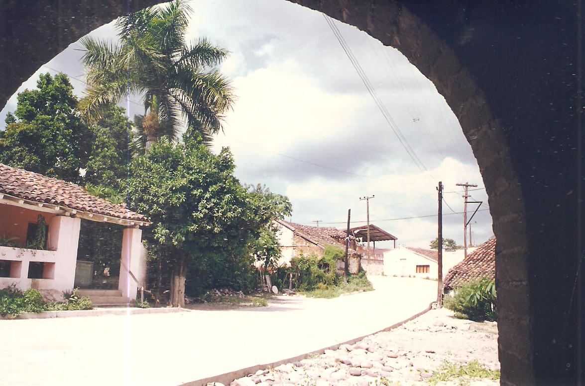
A locality in the municipality of Elota
La Cruz
The seat of the municipality of Elota since 1927, on Sinaloa's south-central coast. Its name comes from a boundary marker topped with a wooden cross that divided two woodcutting crews; no founding date for the settlement itself has been documented.
Key facts
- Municipality
- Elota
- Population
- 19,742 · 2020
- Occupied dwellings
- 5,187 · 2020
- Settlement type (INEGI)
- Urban
- Elevation
- 19 m
- INEGI code
- 250080001
Overview
La Cruz sits on the coastal plain of the municipality of Elota, near the bays of Ceuta and Tempehuya, in southern Sinaloa. It has held the municipal government since 1927 and concentrates the region's commerce, services and, increasingly, coastal tourism.
A rail line reached the area in 1908, with a station initially named "Guadalupe"; the settlement that grew up around it eventually took the name La Cruz.
History
The name La Cruz comes from a boundary marker topped with a wooden cross, which divided the woodcutters of Chicayota and Naranjos —property of María Engracia Yuriar— from those of Ceuta, belonging to the Romero brothers.
On 8 May 1927 the government of the municipality of Elota moved here from the town of Elota, by which time La Cruz already had more than 2,000 inhabitants against the former seat's roughly 900; the first municipal council met in La Cruz the following day. No founding date for the locality earlier than this move has been documented.
Location and geography
Related topics
- Pesca / Fisheries
- Tourism
- History
Sources and data
The figures on this page come from public sources. Each data point shows its year and origin.
- La Cruz — WikiSinaloa — WikiSinaloa
- Elota — WikiSinaloa — WikiSinaloa
- Censo de Población y Vivienda 2020 — Principales resultados por localidad (ITER), Sinaloa — Instituto Nacional de Estadística y Geografía