
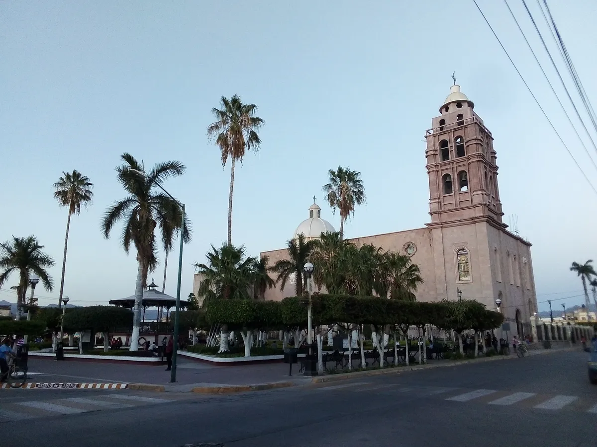
A locality in the municipality of Escuinapa
Escuinapa de Hidalgo
CityThe seat of the municipality of Escuinapa, in Sinaloa's far south. Of pre-Hispanic origin —Ahuchén, later Izquinapa—, it was elevated to city status in 1915 as Escuinapa de Hidalgo, honoring Miguel Hidalgo.
Key facts
- Municipality
- Escuinapa
- Population
- 33,924 · 2020
- Occupied dwellings
- 9,132 · 2020
- Settlement type (INEGI)
- Urban
- Elevation
- 22 m
- INEGI code
- 250090001
Overview
Escuinapa de Hidalgo sits on the coastal plain of Sinaloa's far south, amid estuaries and irrigated farmland. It holds the municipal government and concentrates the region's commerce and services.
The town is closely tied to shrimp fishing along the Sinaloan coast, an activity that gave rise to the dish known as "tamales barbones."
History
Per the municipal government, this locality's original settlement, called Ahuchén, gave rise in turn to Pueblo Viejo and Izquinapa; the latter name is documented around 1602, when it had some 20 residents.
By Decree No. 21, of 7 September 1915, issued by provisional governor Manuel Rodríguez Gutiérrez, the then-villa of Escuinapa was elevated to city rank under the name Escuinapa de Hidalgo, honoring independence hero Miguel Hidalgo.
Location and geography
Related topics
- History
- Colonial history
Sources and data
The figures on this page come from public sources. Each data point shows its year and origin.
- Historia — Escuinapa — Gobierno Municipal de Escuinapa
- Escuinapa de Hidalgo — WikiSinaloa — WikiSinaloa
- Censo de Población y Vivienda 2020 — Principales resultados por localidad (ITER), Sinaloa — Instituto Nacional de Estadística y Geografía