
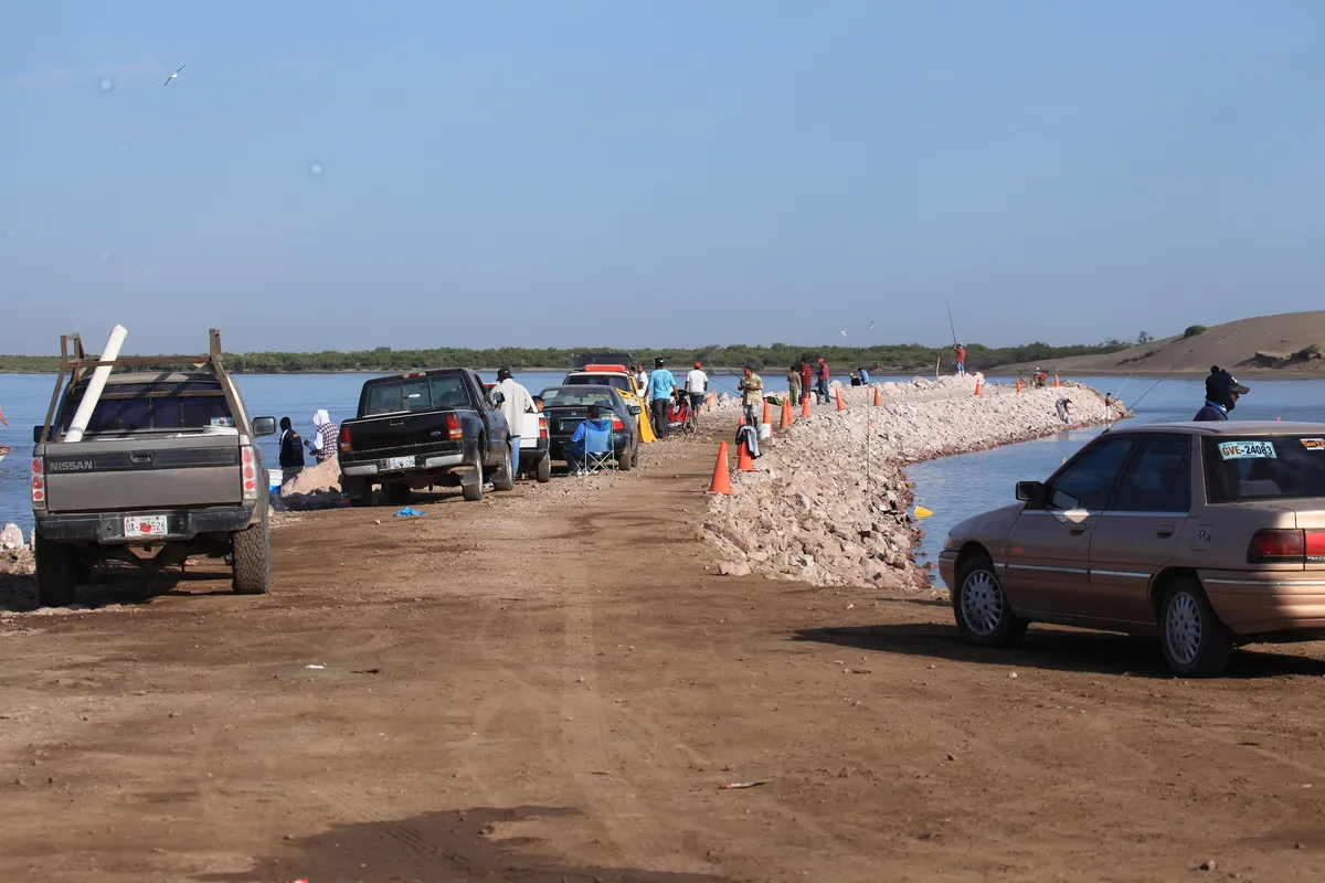
A locality in the municipality of Guasave
Las Glorias
Fishing communityA locality and beach resort in the municipality of Guasave, on the barrier that closes the Bahía de Navachiste, about 40 km south of the city of Guasave. It is the main beach destination in north-central Sinaloa; its permanent resident population is very small.
Key facts
- Municipality
- Guasave
- Population
- 35 · 2020
- Occupied dwellings
- 14 · 2020
- Settlement type (INEGI)
- Rural
- Elevation
- 7 m
- INEGI code
- 250110751
Overview
Las Glorias sits on a sand barrier facing the Gulf of California, next to the mouth of the Río Sinaloa at Boca del Río, reached by paved road from the city of Guasave. Houses, hotels and RV grounds sit alongside the local inshore fishing.
The barrier separates the open sea from the San Ignacio-Navachiste-Macapule lagoon system, a coastal mangrove wetland recognised as a Ramsar site in 2008 and used as a bird refuge; the islands and islets of Navachiste have been protected since 1978.
Most of the population and economy of the municipality of Guasave is inland, in the farming valley and the seat city. Las Glorias is a small coastal settlement in permanent residents but a heavily visited one.
Location and geography
Nearby localities
- Boca del Río563 residents
Related topics
- Tourism
- Pesca / Fisheries
- Nature and ecosystems
Sources and data
The figures on this page come from public sources. Each data point shows its year and origin.
- Censo de Población y Vivienda 2020 — Principales resultados por localidad (ITER), Sinaloa — Instituto Nacional de Estadística y Geografía
- Atractivos turísticos — H. Ayuntamiento de Guasave — Gobierno Municipal de Guasave
- Sistema Lagunar San Ignacio-Navachiste-Macapule — Ficha Informativa Ramsar (sitio no. 1826) — Servicio de Información sobre Sitios Ramsar