
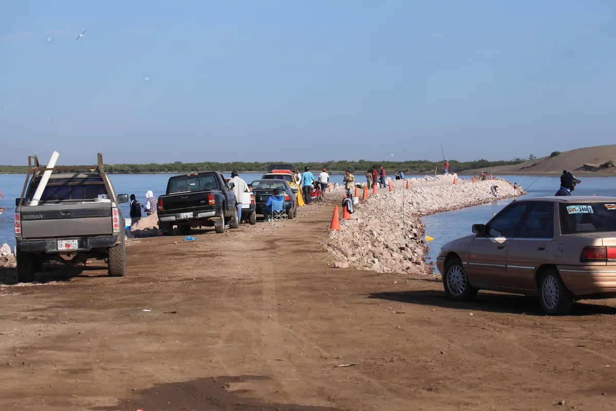
Guasave
A municipality in northern Sinaloa on the plain of the lower Río Sinaloa. It is one of the state’s most productive irrigated-farming districts and has a long coastline on the bays of Navachiste and San Ignacio.
Key facts
- Municipal seat
- Guasave · City
- Population
- 289,370 · 2020
- Occupied dwellings
- 77,894 · 2020
- INEGI code
- 25011
Overview
Guasave occupies a broad alluvial plain in northwestern Sinaloa and is the flattest of the state’s municipalities. Its economy rests on irrigated agriculture in the Río Sinaloa district — grains, oilseeds and vegetables — and, on the coast, on inshore fishing and aquaculture run through cooperatives.
The seat is the city of Guasave, the main urban and service centre. The coast takes in the Navachiste barrier and the beach of Las Glorias. In 2021 the state congress approved separating part of the municipal territory to form the new municipality of Juan José Ríos, which took office in 2024.
History
The land around Guasave was long held by Cahíta-speaking peoples — among them the Guasave and Mayo — whose rain-fed farming along the Río Sinaloa drew the notice of the first Spanish expeditions in the sixteenth century.
Through the colonial period the area was tied to the mission system and the trade routes of the northwest. The present municipality took shape in independent Mexico, and the city of Guasave grew during the twentieth century with the irrigation of the valley. In 2021 the state congress approved the creation of the municipality of Juan José Ríos from territory of Guasave, Ahome, El Fuerte and Sinaloa; its municipal government took office in 2024.
Geography
The municipality is a plain of nearly level soils; its only high ground is a scattering of coastal hills and islands around the bays of Navachiste and San Ignacio. The Río Sinaloa crosses it from northeast to southwest and is regulated upstream by the Gustavo Díaz Ordaz (Bacurato) dam.
The coast, on the Gulf of California, mixes estuaries, mangroves and the sand barrier of Las Glorias. The climate is hot and dry, with rainfall concentrated in summer.
Seat: Guasave · Seat coordinates: 25.5670, -108.4686
Cities and localities
Municipal seat
Featured localities
- Las GloriasFishing community · 35 residents (2020)
Other localities
- Gabriel Leyva Solano (Benito Juárez) · 25,157 residents (2020)
- Adolfo Ruiz Cortines · 14,623 residents (2020)
- Estación Bamoa (Campo Wilson) · 5,481 residents (2020)
- Los Ángeles · 4,783 residents (2020)
- El Burrión · 4,042 residents (2020)
- La Trinidad · 4,023 residents (2020)
- Corerepe (El Gallo) · 3,461 residents (2020)
- Tamazula · 3,029 residents (2020)
- Callejones de Guasavito · 2,983 residents (2020)
The municipality contains 653 localities on the INEGI register.
Related places
Related topics
- Agriculture
- Pesca / Fisheries
- History
Sources and data
The figures on this page come from public sources. Each data point shows its year and origin.
- Censo de Población y Vivienda 2020 — Principales resultados por localidad (ITER), Sinaloa — Instituto Nacional de Estadística y Geografía
- Panorama sociodemográfico de Sinaloa. Censo de Población y Vivienda 2020 — Instituto Nacional de Estadística y Geografía
- Enciclopedia de los Municipios y Delegaciones de México — Estado de Sinaloa — Instituto Nacional para el Federalismo y el Desarrollo Municipal (SEGOB)
- Crea el Congreso del Estado el municipio de Juan José Ríos — H. Congreso del Estado de Sinaloa