
A locality in the municipality of Mazatlán
El Quelite
A village in the municipality of Mazatlán, about 45 km from the city, on the old coastal road. Traditional in built form and living from cattle and farming, it is recognised by the State of Sinaloa as a "Pueblo Señorial".
Key facts
- Municipality
- Mazatlán
- Population
- 1,455 · 2020
- Occupied dwellings
- 475 · 2020
- Settlement type (INEGI)
- Rural
- Elevation
- 36 m
- INEGI code
- 250120296
Overview
El Quelite sits among low hills, on the old coastal road that once linked Mazatlán with the north of the state. Its population is largely rural and lives from dairy cattle, farming and, increasingly, weekend tourism.
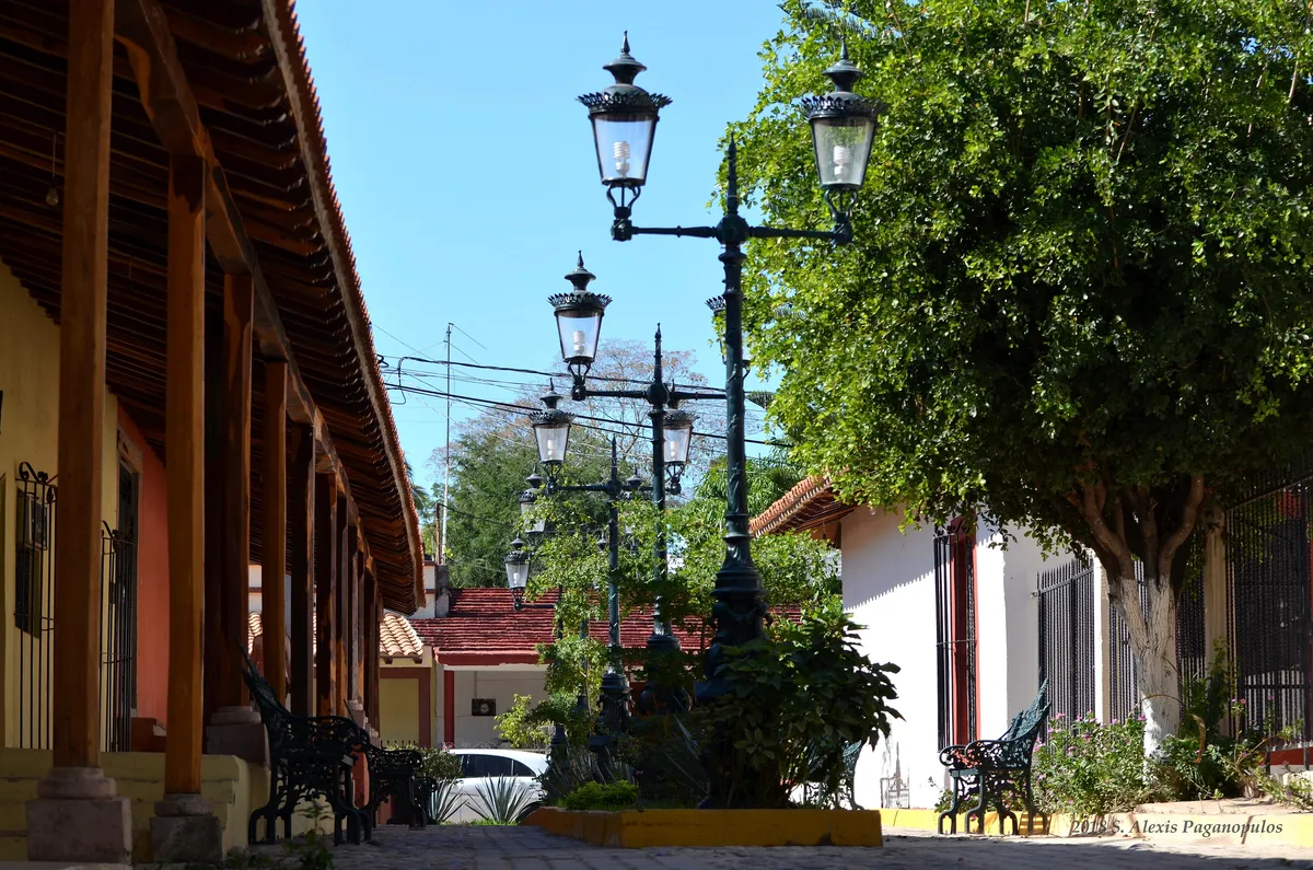
The village keeps a group of whitewashed houses with tile roofs, corridors and cobbled streets, in a vernacular style predating the Revolution, and sustains traditions such as ulama, a living version of the Mesoamerican ball game. Its name comes from the Nahuatl quelitl, "edible herb".
History
El Quelite is a village of colonial origin tied to the coastal road; the Mazatlán tourism office recalls that, around the time of Independence, the road was feared for the raids of an armed band, the "Laureanos". The architecture that survives is mostly pre-Revolution. The state "Pueblo Señorial" recognition has turned the village toward cultural tourism, without displacing its cattle and farming base.
Location and geography
Related topics
- Tourism
- History
Sources and data
The figures on this page come from public sources. Each data point shows its year and origin.
- Censo de Población y Vivienda 2020 — Principales resultados por localidad (ITER), Sinaloa — Instituto Nacional de Estadística y Geografía
- El Quelite — Turismo rural, H. Ayuntamiento de Mazatlán — Gobierno Municipal de Mazatlán
- Pueblos Señoriales de Sinaloa — Gobierno del Estado de Sinaloa