
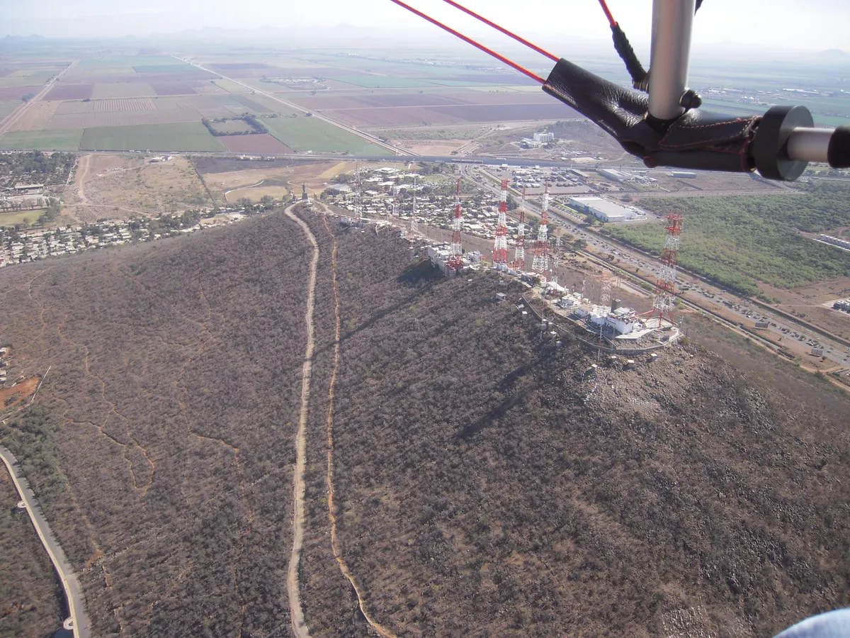
Cerro de la Memoria
HillAn emblematic hill in Los Mochis, municipality of Ahome, used as a burial ground by the valley’s first foreign colonists in the late nineteenth century — hence its name, from the English "Memorial Hill". Today it is a lookout with a historic lighthouse and a statue of the Virgin on its summit.
Key facts
- Nature
- Natural
Overview
Cerro de la Memoria rises over the layout of Los Mochis and offers a panoramic lookout over the city and the Valle del Fuerte, known locally as "La Pérgola". It now has paved paths, a bike path and rest areas, and is one of the city’s best-known landmarks.
History
According to local tradition, the Cahíta people knew the hill as Banderacahui ("hill of the flag"); in 1878 the American colonel Albert K. Owen, promoter of the Topolobampo colonisation project, raised a United States flag on its summit as a symbol of the start of his colony.
With the arrival of foreign colonists in the late nineteenth century, the hill began to be used as a burial ground for the first settlers, mostly of American origin — the source of its English name "Memorial Hill", later Hispanicised as Cerro de la Memoria. A high-powered lighthouse was installed on the summit in 1929, and a monumental statue of the Virgin, under the title Queen of the Valle del Fuerte, was placed there in the mid-1990s.
Geography
It is the most prominent elevation in the urban area of Los Mochis, reported to rise about 160 metres above the surrounding valley.
Coordinates: 25.8043, -108.9747
Location
Municipality
Locality
Related topics
- History
- Tourism
Sources and data
The figures on this page come from public sources. Each data point shows its year and origin.
- El Cerro de la Memoria, el ícono de Los Mochis repleto de historias — El Debate
- Cerro de la Memoria — WikiSinaloa.org