
A locality in the municipality of Ahome
Los Mochis
A city in northwestern Sinaloa and the seat of the municipality of Ahome. It is a planned early-twentieth-century city, laid out on a grid around a sugar mill, and today the main urban, commercial and service centre of the Valle del Fuerte.
Key facts
- Municipality
- Ahome
- Population
- 298,009 · 2020
- Occupied dwellings
- 91,011 · 2020
- Settlement type (INEGI)
- Urban
- Elevation
- 9 m
- INEGI code
- 250010001
Overview
Los Mochis lies on the farming plain of the lower Río Fuerte, a few kilometres from the coast. It holds the government of the municipality of Ahome and its largest concentration of population, and it anchors the valley’s commerce, services and agro-industry, along with the link to the port of Topolobampo and the regional airport.
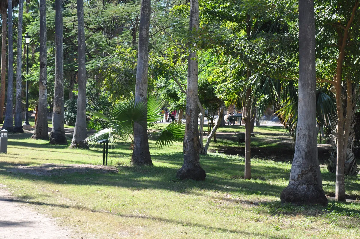
The town centre keeps its original grid plan and Parque Sinaloa, the city’s botanical garden. The wider municipality of Ahome also takes in the older town of Ahome, which gives it its name, and many farming and fishing localities.
History
The town began with the sugar industry. Around 1898 the American businessman Benjamin F. Johnston — held by local tradition to be the founder of the city — laid the first stone of a mill, and a small settlement of colonists grew beside it, on land tied to the railway and colonisation project at Topolobampo.
Around 1903, with the first cane harvest, Los Mochis began to grow and to be laid out in the manner of an American town. The municipality of Ahome was established by a decree of 20 December 1916, with its seat at the town of Ahome; the seat moved to Los Mochis in 1935 as the city became the valley’s economic centre.
Location and geography
Nearby localities
- Topolobampo6,198 residents
Related topics
- Agriculture
- History
Related stories
 History
The port of Topolobampo and the development of northern Sinaloa
A sheltered bay on the coast of Ahome was first the site of a utopian socialist colony, and later the destination of a railway that took eight decades to complete. Together, they shaped the port — and the network of communities now known as northern Sinaloa.
Sources and data
The figures on this page come from public sources. Each data point shows its year and origin.
- Censo de Población y Vivienda 2020 — Principales resultados por localidad (ITER), Sinaloa — Instituto Nacional de Estadística y Geografía
- Enciclopedia de los Municipios y Delegaciones de México — Estado de Sinaloa — Instituto Nacional para el Federalismo y el Desarrollo Municipal (SEGOB)
- Ferrocarril Chihuahua al Pacífico (El Chepe) — El Mirador — Gobierno de México (SICT)