
Ahome
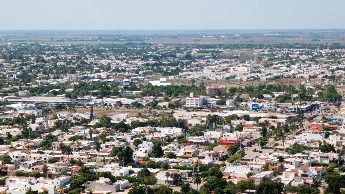
A municipality at the far north of Sinaloa, in the Valle del Fuerte. Its seat, Los Mochis, is a planned early-twentieth-century city; the municipality is among the state leaders in irrigated agriculture, fishing and aquaculture, and holds the deep-water port of Topolobampo.
Key facts
- Municipal seat
- Los Mochis
- Population
- 459,310 · 2020
- Occupied dwellings
- 133,896 · 2020
- INEGI code
- 25001
Overview
Los Mochis grew in the early twentieth century around the sugar mill founded by the American industrialist Benjamin F. Johnston, laid out on a grid plan. Topolobampo, on Ohuira bay, is a deep-water port and the western end of the Chihuahua–Pacific Railway line.
Irrigated farming in the Río Fuerte district — sugarcane, maize and vegetables — and a large fishing and aquaculture sector sustain the municipal economy. The older town of Ahome gives the municipality its name.
History
The area was home to Mayo (Yoreme) peoples; the Jesuit mission of Ahome was established in the early seventeenth century. American colonists arrived in the late nineteenth century: Albert K. Owen promoted a utopian-socialist colony at Topolobampo tied to a railway project toward the Pacific.
Drawn by that project, Benjamin F. Johnston developed sugarcane cultivation and, around 1903, the planned city of Los Mochis beside his mill. Through the twentieth century the municipality grew with the irrigation of the valley and the consolidation of the port.
Geography
Ahome is an alluvial plain of the lower Río Fuerte, regulated upstream by the Miguel Hidalgo and Josefa Ortiz de Domínguez (Huites) dams. On the coast the bays of Ohuira and Topolobampo open out, with mangroves and the island of El Maviri.
The climate is very hot and dry, with sparse rainfall concentrated in summer.
Cities and localities
Municipal seat
Featured localities
- Topolobampo · 6,198 residents (2020)
Other localities
- Ahome · 11,851 residents (2020)
- Higuera de Zaragoza · 9,464 residents (2020)
- San Miguel Zapotitlán · 6,253 residents (2020)
- Bagojo Colectivo · 5,039 residents (2020)
- Gustavo Díaz Ordaz (El Carrizo) · 4,850 residents (2020)
- Compuertas · 4,229 residents (2020)
- Primero de Mayo · 3,767 residents (2020)
- Nuevo San Miguel · 3,686 residents (2020)
- Alfonso G. Calderón (Poblado Siete) · 3,354 residents (2020)
The municipality contains 562 localities on the INEGI register.
Related places
Related gastronomy
Related topics
- Agriculture
- Ports
- Pesca / Fisheries
- History
Related stories
- History
The deer and pascola dances among the Yoremes of Sinaloa
Among the yoremem — the Mayo people of northern Sinaloa — music and dance are not entertainment set apart from ceremonial life: they still accompany, today, the religious fiestas that mark the year.
 History
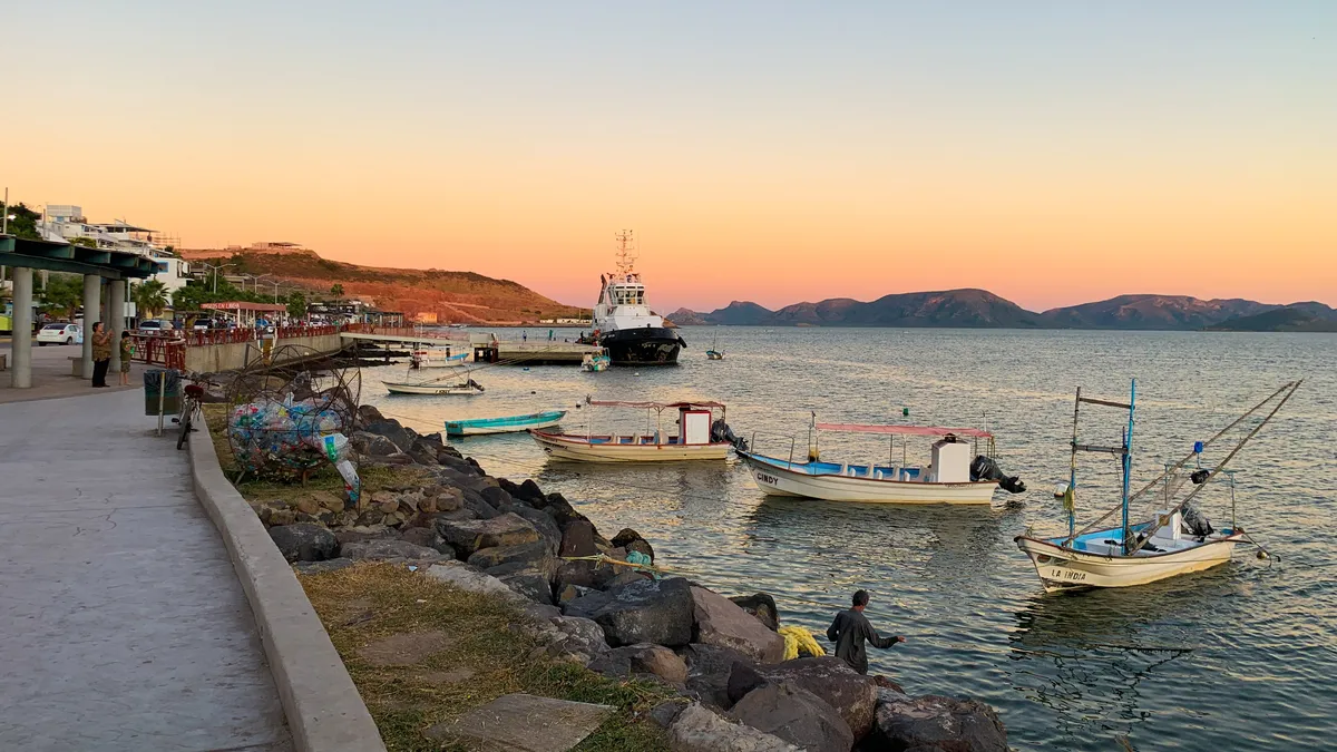
The port of Topolobampo and the development of northern Sinaloa
A sheltered bay on the coast of Ahome was first the site of a utopian socialist colony, and later the destination of a railway that took eight decades to complete. Together, they shaped the port — and the network of communities now known as northern Sinaloa.
Sources and data
The figures on this page come from public sources. Each data point shows its year and origin.
- Censo de Población y Vivienda 2020 — Principales resultados por localidad (ITER), Sinaloa — Instituto Nacional de Estadística y Geografía
- Panorama sociodemográfico de Sinaloa. Censo de Población y Vivienda 2020 — Instituto Nacional de Estadística y Geografía
- Enciclopedia de los Municipios y Delegaciones de México — Estado de Sinaloa — Instituto Nacional para el Federalismo y el Desarrollo Municipal (SEGOB)