
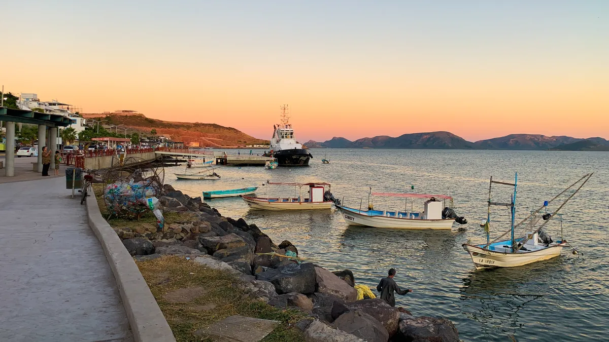
A locality in the municipality of Ahome
Topolobampo
A port locality in the municipality of Ahome, on the Ohuira–Topolobampo bay system, on the north coast of Sinaloa. It began in the 1880s from a utopian colonisation venture promoted by the American Albert K. Owen and today holds one of the state’s deep-water ports.
Key facts
- Municipality
- Ahome
- Population
- 6,198 · 2020
- Occupied dwellings
- 1,872 · 2020
- Settlement type (INEGI)
- Urban
- Elevation
- 10 m
- INEGI code
- 250010240
Overview
Topolobampo sits on a system of sheltered bays — Ohuira, Topolobampo and Santa María — connected to the Gulf of California, and forms a functional conurbation with Los Mochis, about 20 km away.
Its wharves handle petroleum products, general cargo, mineral bulk and agricultural bulk — chiefly export maize within that last category — along with the passenger and vehicle ferry that links it with La Paz, in Baja California Sur. It is the western end of the Chihuahua–Pacific Railway line, whose freight reaches the port.
The passenger station of the El Chepe tourist train is in Los Mochis, not in Topolobampo.
History
In 1882 the American engineer Albert K. Owen obtained a railway concession from the Mexican government to link the interior of the country with a port at Topolobampo, and during that decade he promoted a utopian, socialist-inspired colony there. Neither that first railway project nor the colony — whose members eventually scattered across the region — prospered.
The railway was taken up again later under other companies: the full Chihuahua–Pacific line was inaugurated in 1961. The deep-water port developed through the twentieth century as the outlet for the farm production of northern Sinaloa.
Location and geography
Nearby localities
- Los Mochis298,009 residents
Related topics
- Ports
- History
- Railways
Related stories
- History
The port of Topolobampo and the development of northern Sinaloa
A sheltered bay on the coast of Ahome was first the site of a utopian socialist colony, and later the destination of a railway that took eight decades to complete. Together, they shaped the port — and the network of communities now known as northern Sinaloa.
Sources and data
The figures on this page come from public sources. Each data point shows its year and origin.
- Censo de Población y Vivienda 2020 — Principales resultados por localidad (ITER), Sinaloa — Instituto Nacional de Estadística y Geografía
- Ferrocarril Chihuahua al Pacífico (El Chepe) — El Mirador — Gobierno de México (SICT)
- Puerto de Topolobampo — Acerca del puerto — Administración del Sistema Portuario Nacional Topolobampo, S.A. de C.V.
- Enciclopedia de los Municipios y Delegaciones de México — Estado de Sinaloa — Instituto Nacional para el Federalismo y el Desarrollo Municipal (SEGOB)