
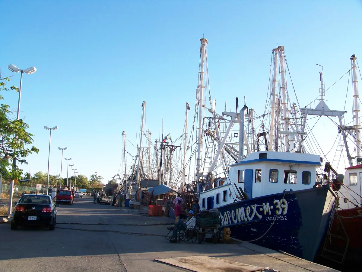
Bahía de Topolobampo
BayA sheltered bay on the north coast of Sinaloa, in the municipality of Ahome, forming a roughly 225 km² system together with the Ohuira and Santa María bays. It holds one of the state’s deep-water ports, next to the port locality of Topolobampo.
Image: M.C. Jorge M. Mejía · Wikimedia Commons · CC BY-SA 3.0
Key facts
- Nature
- Natural
Overview
The Bahía de Topolobampo is one of three sheltered bays — along with Ohuira and Santa María — that form a lagoon system connected to the Gulf of California through the barriers of Isla Santa María and Punta Copas. Its wharves handle petroleum products, general cargo, mineral bulk and agricultural bulk — chiefly export maize — along with the passenger and vehicle ferry that links it with La Paz, in Baja California Sur.
It is the western end of the Chihuahua–Pacific Railway, whose freight reaches the port; the passenger station of the El Chepe tourist train, however, is in Los Mochis, not in Topolobampo.
History
In 1881 the American engineer Albert K. Owen obtained a railway concession from the Mexican government to link the interior of the country with a port at Topolobampo, and he promoted a utopian, socialist-inspired colony there; neither that first railway project nor the colony prospered at the time. The railway was taken up again later under other companies, and the full Chihuahua–Pacific line was inaugurated in 1961; the deep-water port developed through the twentieth century as the outlet for the farm production of northern Sinaloa.
Geography
The Ohuira, Topolobampo and Santa María bay system together covers an area of roughly 225 km², of which the Bahía de Topolobampo itself takes up about 6,000 hectares.
Coordinates: 25.6000, -109.0667
Location
Municipality
Locality
Related topics
- Ports
- Railways
- History
Related stories
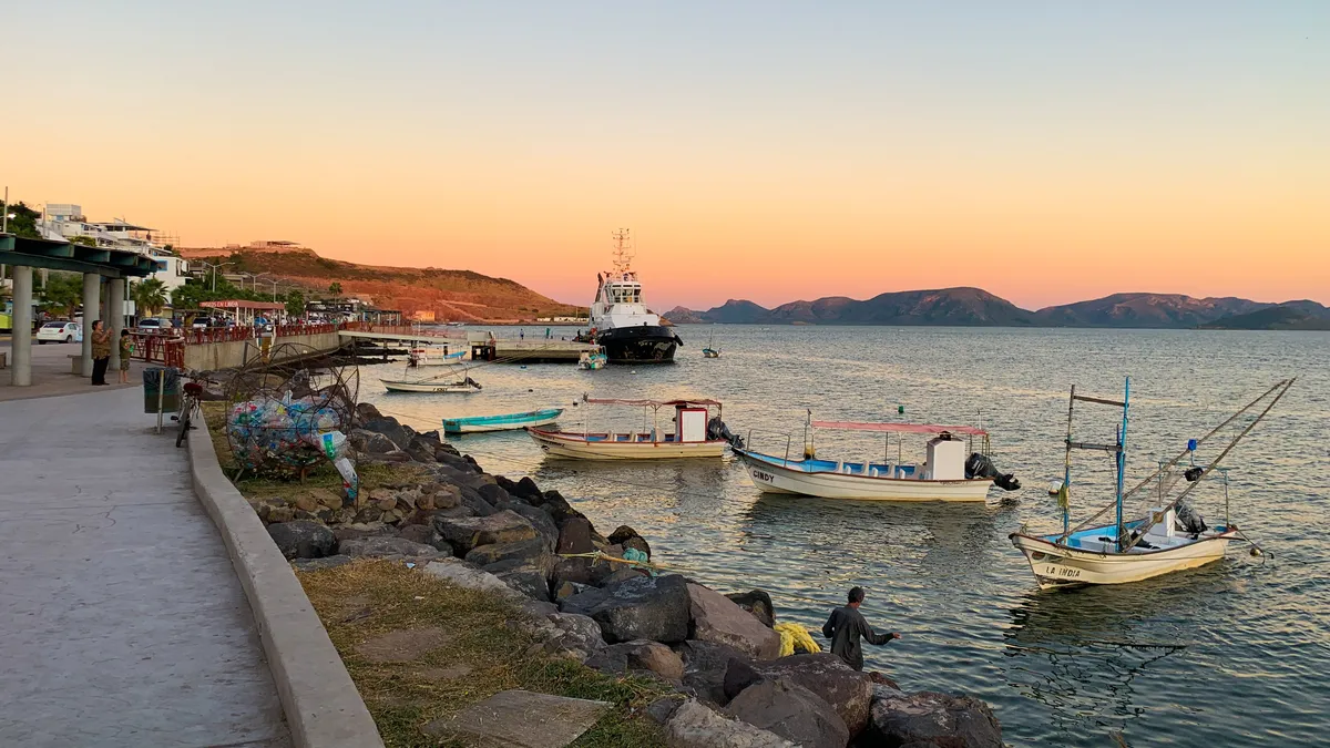 History
The port of Topolobampo and the development of northern Sinaloa
A sheltered bay on the coast of Ahome was first the site of a utopian socialist colony, and later the destination of a railway that took eight decades to complete. Together, they shaped the port — and the network of communities now known as northern Sinaloa.
Sources and data
The figures on this page come from public sources. Each data point shows its year and origin.
- Puerto de Topolobampo — Acerca del puerto — Administración del Sistema Portuario Nacional Topolobampo, S.A. de C.V.
- Ferrocarril Chihuahua al Pacífico (El Chepe) — El Mirador — Gobierno de México (SICT)
- Dinámica sociointercultural del surgimiento del puerto de Topolobampo en México — Revista CoPaLa. Construyendo Paz Latinoamericana (Red CoPaLa)